


Garfield 23, Garfield County, Colorado
About
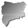
Outline

Summary
| Unique Area Identifier | 548222 |
| Name | Garfield 23 |
| County | Garfield County |
| State | Colorado |
| Area (square miles) | 31.99 |
| Land Area (square miles) | 31.80 |
| Water Area (square miles) | 0.19 |
| % of Land Area | 99.41 |
| % of Water Area | 0.59 |
| Latitude of the Internal Point | 39.55390150 |
| Longtitude of the Internal Point | -107.84949910 |
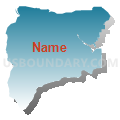
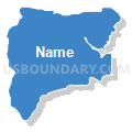
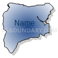
Maps


Graphs
Select a template below for downloading or customizing gragh for Garfield 23, Garfield County, Colorado


Neighbors
Neighoring Voting District (by Name) Neighboring Voting District on the Map
- Garfield 20, Garfield County, CO
- Garfield 21, Garfield County, CO
- Garfield 22, Garfield County, CO
- Garfield 24, Garfield County, CO